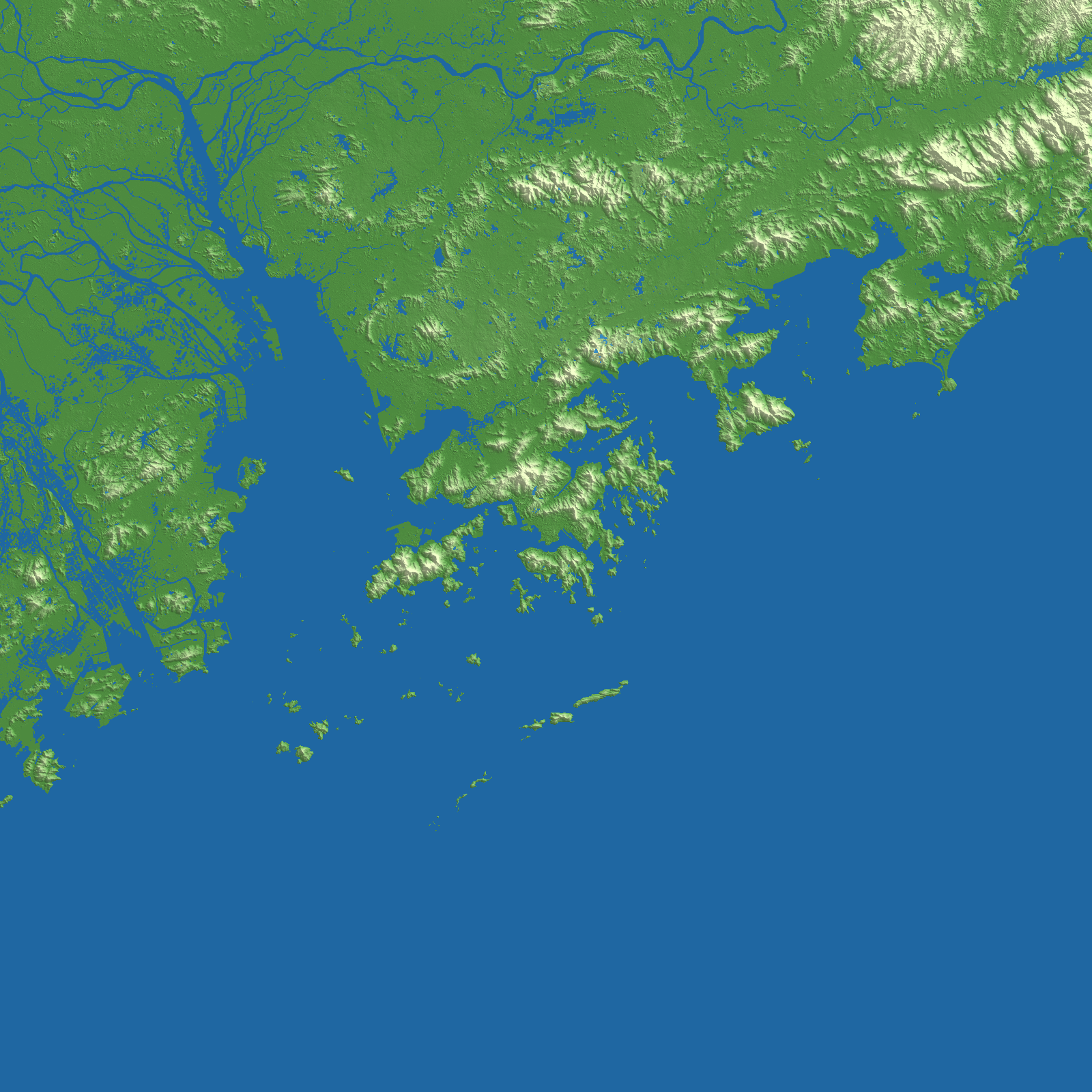
Elevation tells us how high a place is. It does not, on its own, tell a city-building game whether that place is land or water. For that we also use land-cover data. The two sources work at different scales, and at a coarse scale a bridge can become a strip of apparent land across a river. On a game map, the river then seems to be blocked.
We investigated this in Hong Kong. One experiment used OpenStreetMap bridge features to locate likely mistakes. Another looked for narrow strips of land between areas of water. Both found useful candidates, but a causeway, a small island, and an irregular shore can resemble a bridge in a raster map. Shape alone was not enough to decide what to erase.
The terrain recipe released for 4,232 cities does not include those later erasing steps or OSM bridge vectors. Instead, it combines local WorldCover land and water evidence over roughly 64 meters with the evidence in neighboring cells. The classification can use the wider setting of a river while leaving cells with too little evidence unresolved. Connected water areas are then given consistent levels. Both the color preview and downloadable grayscale terrain are derived from the same final CELL16 data.
This method is not a bridge detector and cannot promise to identify every crossing. Narrow rivers, complicated shores, and errors in the source data remain difficult. Real roads and buildings do not appear automatically in the game map. We keep a versioned recipe and generation reports so we can inspect specific cities and improve the result over time.